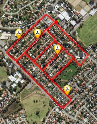
Date: 7th January 2015
Distance: 3.90 kms
Locality: Kelmscott
Streets walked:
- Tollington Park Road
- Parkfield Road
- Sidcup Way
- Woburn Way
- Oakfield Place
- Patfield Place
- Ryland Road
- Railway Avenue
- Saffron Court
- Pindari Court
- Bundalla Court
- Gunnamatta Place
Running street count: 40
Running distance: 16.79 km
This cosy neighbourhood is nestled between Kelmscott High School, the industrial area, John Dunn Oval and the railway line, on the doorstep of Challis Station.

Any ex-student of KSHS will be intimate with the streets of their daily walk to and from school, and parts of this area featured in mine, being passed through before making my way over the railway line towards Albany Highway. It's flat, familiar and a product of the late 1970s (although this'll need to be verified - will check it out and slip in an update edit).
In any neighbourhood there's a good chance that a local theme will emerge; for example around Grovelands Drive in Camillo there's a surprising number of houses with boats in the driveway - in some parts it's every second house. I've never seen the likes of it anywhere else in Armadale. This sort of thing might be explained by neighbours having an influence on one another, and so these things evolve. Around Tollington Park the only thing that struck me was the number of flagpoles (naturally with Australian flags) which are generally very uncommon. Sure, the number was a low one - just two - but that's more than the usual.
And as always, pavement graffiti is a source of amusement on any walk...